UN
103a Cromwell Road
£ 247,000
Description
We don't have a Description for this property.
- Bedrooms
- 2
- Bathrooms
- 0
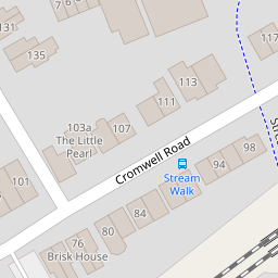
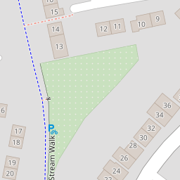

Leaflet © OpenStreetMap contributors
The heatmap indicates the level of crime in the area. The color of the heatmap indicates the crime severity and recency.
Metrics Year-on-Year
- Average area value
- 467,833.00 £Increased by 3.56 %
- Average area rental value
- 1,383.00 £/moIncreased by 4.30 %
- Est rental Yield
- 3.55 %Increased by 0.85 %
- Crime Rate
- 6.00 %Unchanged by 0.00 %
from 451,737.00 £
from 1,326.00 £/mo
from 3.52 %
from 6.00 %
Nearby Schools
| Name | Type | Ofsted | Distance |
|---|---|---|---|
| Westmeads Community Infant School | Community School | Outstanding | 0.41 KM |
| Whitstable And Seasalter Endowed Church Of England Junior School | Voluntary Aided School | Outstanding | 0.43 KM |
| Whitstable Junior School | Foundation School | Good | 0.50 KM |
| St Alphege Church Of England Infant School | Voluntary Controlled School | Good | 0.54 KM |
| Isp Polar Re Start Centre | Other Independent Special School | 0.60 KM |
Images
Nearby Streets
| Name | Average Price | Average Sqft | Distance |
|---|---|---|---|
| Old Millfield Works | £ 0 | 0 | 0.00 KM |
| Freeman's Yard | £ 0 | 0 | 0.00 KM |
| Wheelers Alley (CWX32) | £ 0 | 0 | 0.00 KM |
| Salt Pans Lane | £ 360,000 | 0 | 0.00 KM |
| Willow Court | £ 0 | 0 | 0.00 KM |
Nearby Transport
| Name | NLC | TLC | Distance |
|---|---|---|---|
| Whitstable | 5196 | WHI | 0.45 KM |
| Chestfield And Swalecliffe | 5200 | CSW | 4.17 KM |
| Canterbury West | 5007 | CBW | 9.51 KM |
| Herne Bay | 5174 | HNB | 9.81 KM |
Nearby Listings
| Address | Price | Type | Score | Distance |
|---|---|---|---|---|
| Cromwell Road, Whitstable | £ 449,950 | BUY | 7 / 10 | 0.04 KM |
| Cromwell Road, Whitstable | £ 550,000 | BUY | Unknown | 0.09 KM |
| Regent Street, Whitstable, CT5 | £ 500,000 | BUY | Unknown | 0.09 KM |
| Millfield Manor, Whitstable | £ 375,000 | BUY | 6 / 10 | 0.12 KM |
| Regent Street, Whitstable, Kent | £ 500,000 | BUY | 6 / 10 | 0.14 KM |
Nearby Properties
| Address | Price | Distance |
|---|---|---|
| 111 Cromwell Road | £ 275,000 | 0.00 KM |
| 80 Cromwell Road | £ 190,000 | 0.00 KM |
| 94 Cromwell Road | £ 280,000 | 0.00 KM |
| 103 Cromwell Road | £ 485,000 | 0.00 KM |
| 103a Cromwell Road | £ 247,000 | 0.00 KM |